Trinity™ F90+
eVTOL fixed-wing mapping sUAS
An unbeatable mapping tool for professionals
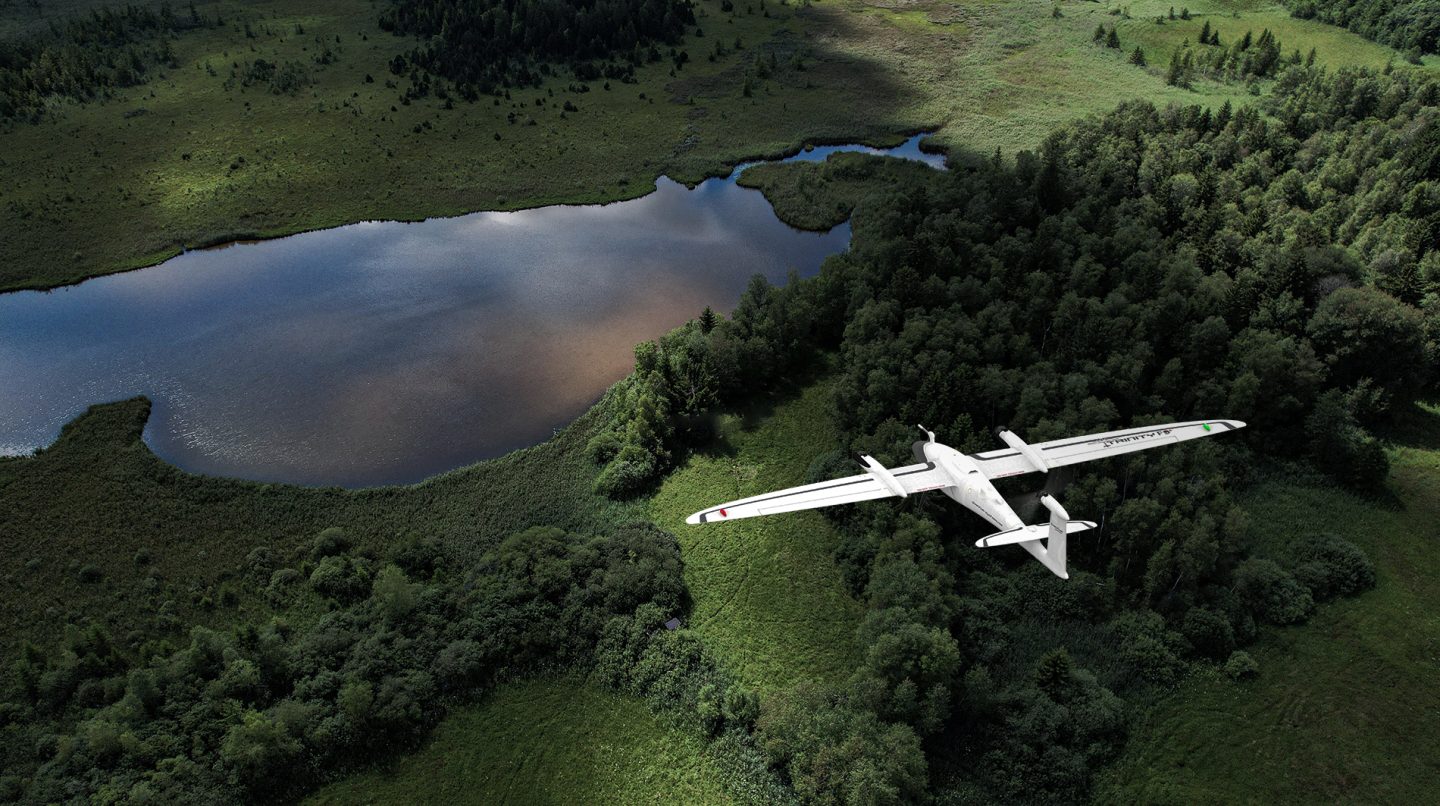
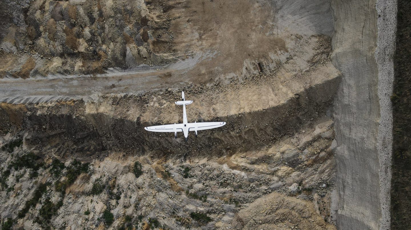
The Trinity F90+ combines the convenient handling of a copter with the efficient aerodynamics and endurance of a fixed-wing UAS. The result is a mapping drone that meets the highest demands on efficiency, safety, delivering survey grade accuracy and versatile application possibilities. Its performance parameters combined with ease of operation and an unbeatable return of investment make the Trinity F90+ the ideal mapping drone for the professional user.

Map big and better with the Trinity F90+
Unmatched Performance
The Trinity F90+ can fly for over 90 minutes, capturing more data per flight than any comparable platform on the market. Trinity F90+ can carry various integrated survey grade sensors of up to 1 kilogram in weight. These can be switched in a plug-n-play mode, mastering frequent changes in application. The Trinity F90+ is delivered with an entry level GNSS base station, iBase, at no additional cost.
Ease of Operation
User-friendly and easy to operate, the Trinity F90+ requires minimal training and can be unpacked and assembled in less than 5 minutes. Onboard QBase 3D mission control software supports flight planning, providing 3D flight path visualization and validation to ensure maximum safety, even in challenging terrain. The Trinity F90+ performs smooth, fully automated vertical take-offs and landings within confined areas with no tools or catapults required. The entire flight can be monitored in QBase 3D and manual override is possible at any time so that the operator remains fully in control.
Versatility
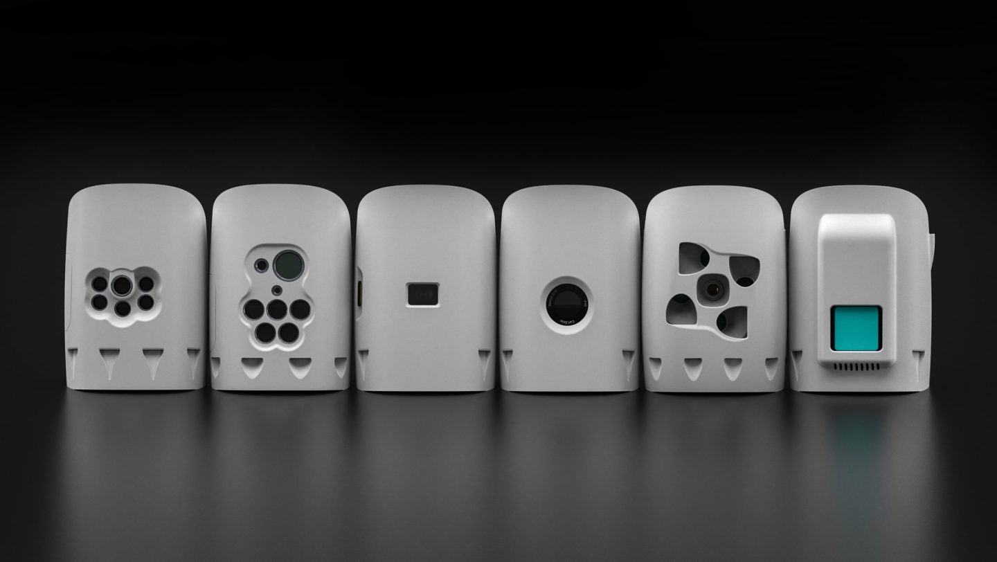
Trinity F90+ is compatible with an advanced suite of survey grade sensors, including RGB, oblique, multi-spectral and LiDAR, to satisfy different requirements for various mission sets. All payloads are easy to swap within seconds via a quick-lock mechanism if the field of application changes. No tools are required.
Cost-effective
The Trinity F90+ features easily interchangeable payloads – including LiDAR – easy repair, large area coverage and a single proprietary ground control software for planning, flying and post processing with PPK as a standard, all at a low price point. Single items of the modular set-up are attached via a quick-lock mechanism allowing for easy maintenance and repair of single parts. A replacement coverage plan is offered to the extend warranty for self-inflicted drone damage, ensuring quick and easy replacement at predictable costs.
100 km
Linear Coverage
700 ha
Area Coverage
1.29 cm
GSD @100 m AGL
90 min
Flight Time
100km
Linear Coverage
700ha
Area Coverage
1.29cm
GSD @100 m AGL
90min
Flight Time
Large Coverage
More Survey Data in Less Time
The Trinity F90+ captures more data in a shorter amount of time and in a simpler, more efficient way than conventional systems or other comparable drones on the market.
90 Minutes Flight Time
Due to its refined aerodynamics, the Trinity F90+ uses less energy and achieves unmatched flight times of 90 minutes and longer. During flight, it can cover large areas (700 ha/ 1,730 acres) or long corridors (100 km/ 62 miles), making it the surveying tool of choice for a broad variety of applications.
More features in detail
QBase 3D
With the QBase 3D software, efficient flight paths are automatically generated using the mission parameters entered by the operator. The operator can adjust parameters in QBase 3D during planning at any time. During flight mode, QBase 3D provides accurate information on aircraft and mission status to ensure flight safety and mission success.
QBase 3DTrinity F90+ Cameras
Trinity F90+ comes with six different fully integrated cameras, including RGB, oblique, multispectral and LiDAR. They are easy to swap using the quick-lock mechanism of the payload compartment. This ensures a correct fit for any application.
Cameras Overview